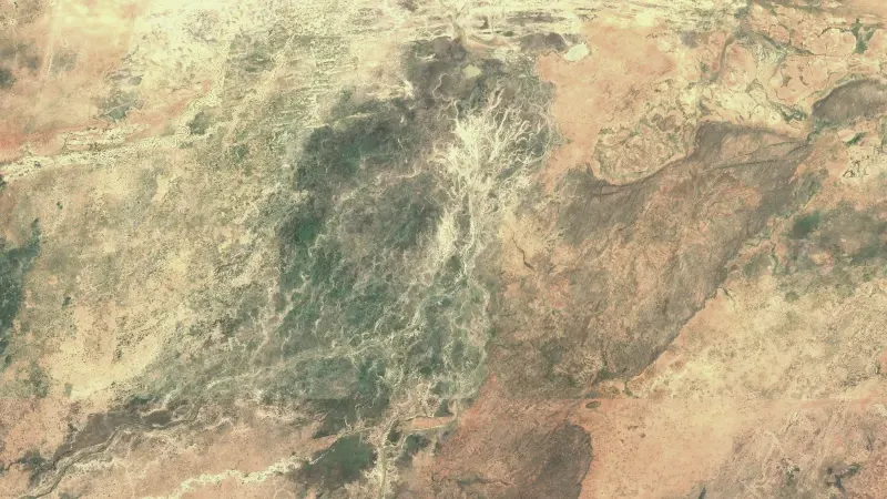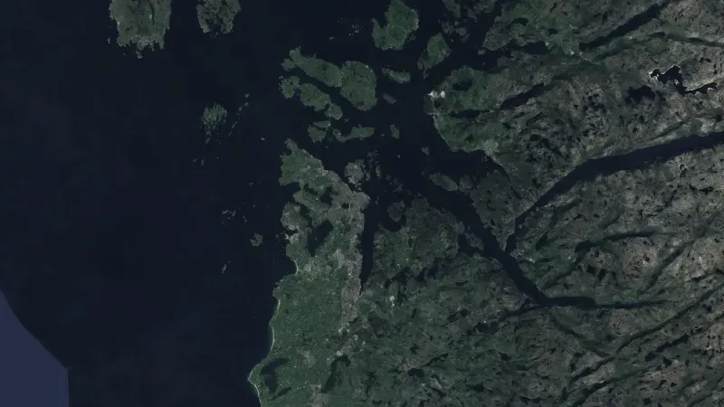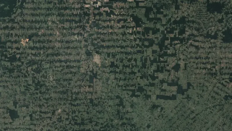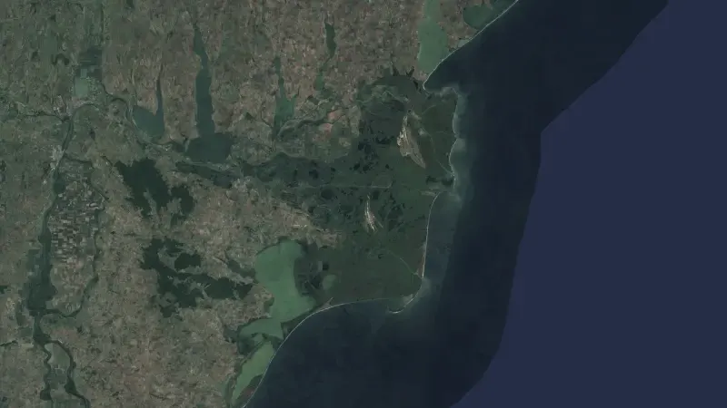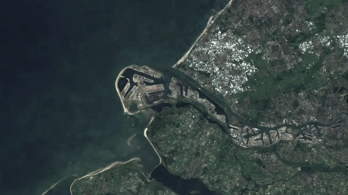
Infrastructure, followed from orbit.
Radar, optical images and night lights show what changes at ports, plants and at sea.
The places that matter most are often the hardest to visit.
Ports, power plants, pipelines and cables lie far apart, offshore or behind closed borders. Inspecting them on site takes weeks and gives one snapshot.
Satellites see through cloud with radar, in colour with optical images and at night through the lights a place gives off. ORION and MARVIS turn those passes into a record of what changed.
What we deliver.
- Follow infrastructure through cloud and darkness with Sentinel-1 radar.
- Compare optical images from Sentinel-2 to see what was built or damaged.
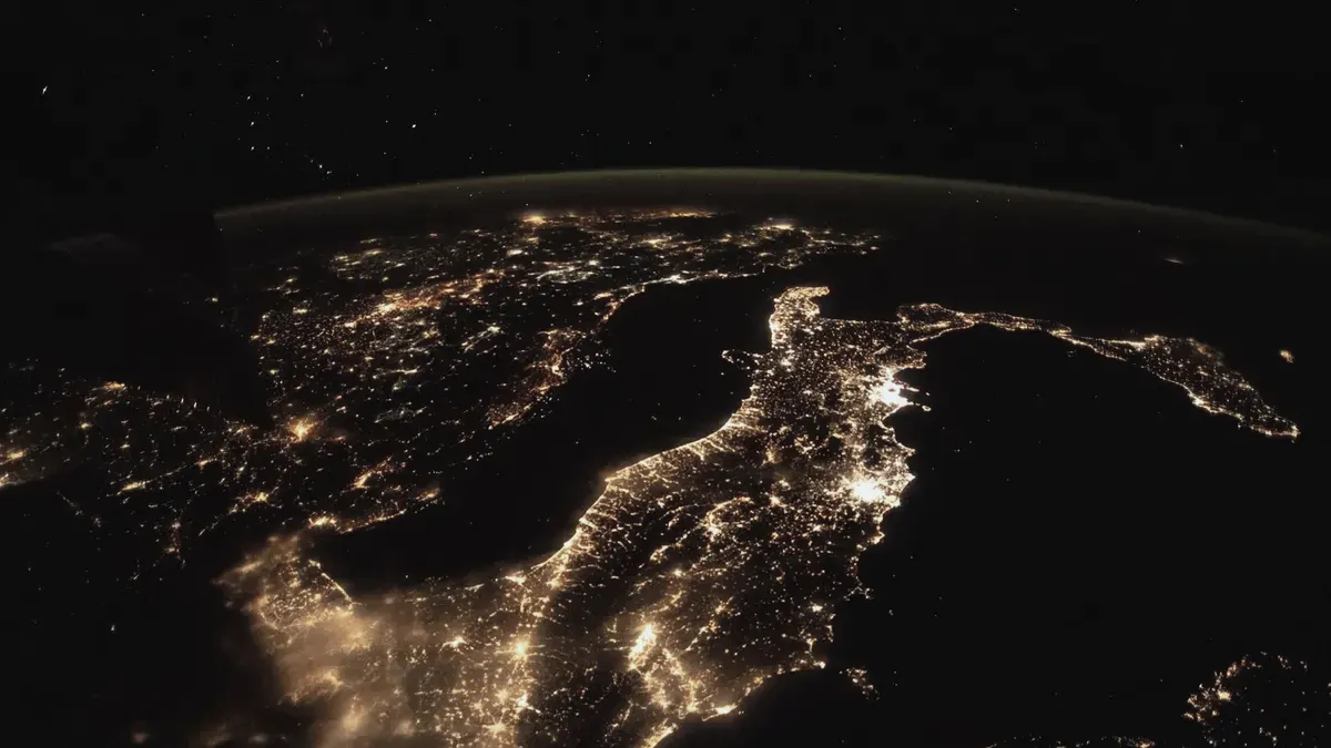
- Read night lights from VIIRS to see where activity rises or falls.
- Find anomalies at sea by matching radar with ship positions from AIS.
How it works.
- Watch
- Each site is read again as new satellite passes arrive.
- Compare
- Radar, optical and night lights are held against each other.
- Sign
- Findings are kept as signed evidence that can be checked later.
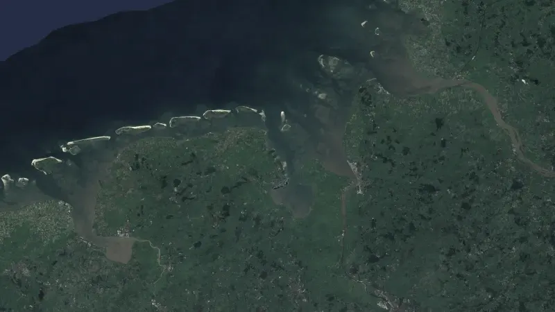
Satellite and Earth observation
More in this area.
All solutions- Food securityWeekly forecasts of food crisis risk, 90 days ahead, for 43 countries.
- Ground motionSee how the ground under a dam, a road or a town moves, measured from radar satellites.
- ForestsFind forest loss and its cause from satellite images, for the EU deforestation regulation.
- Data fusionEarth observation data from six sources, aligned and served behind one API.