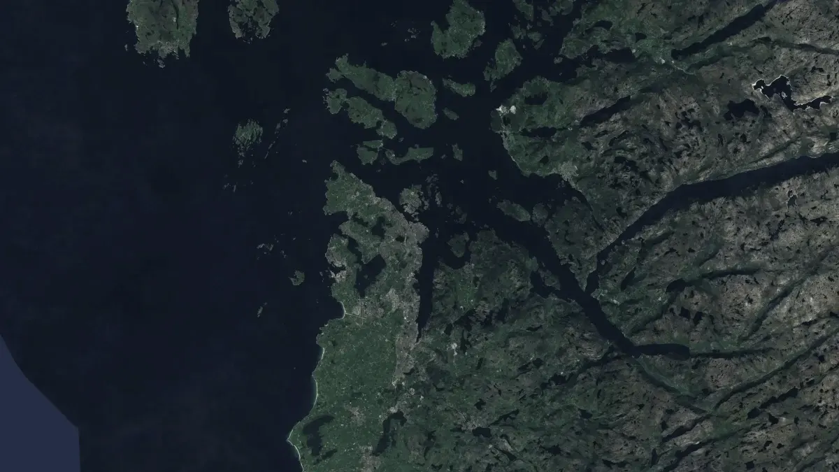
The ground, to the millimetre.
See how the ground under a dam, a road or a town moves, measured from radar satellites.
Ground that sinks a few millimetres a year gives no warning you can see.
Subsidence and slow slopes move too little to notice from the ground, until a crack appears in a wall or a foundation. Measuring it by hand, point by point, is slow and expensive.
Radar satellites measure the same ground again and again. LITHOS reads those measurements from the European Ground Motion Service and turns them into motion you can follow over time.
What we deliver.
- Measure ground motion to the millimetre from radar satellites.
- Read radar measurements from Copernicus EGMS and COMET LiCSAR.
- Follow how a site moves over years, not just a single snapshot.
- Publish the code as open source under Apache 2.0.
How it works.
- Read
- We pull radar measurements from open European archives.
- Measure
- The signal is turned into motion per point, in millimetres.
- Follow
- Time series show where the ground moves and how fast.
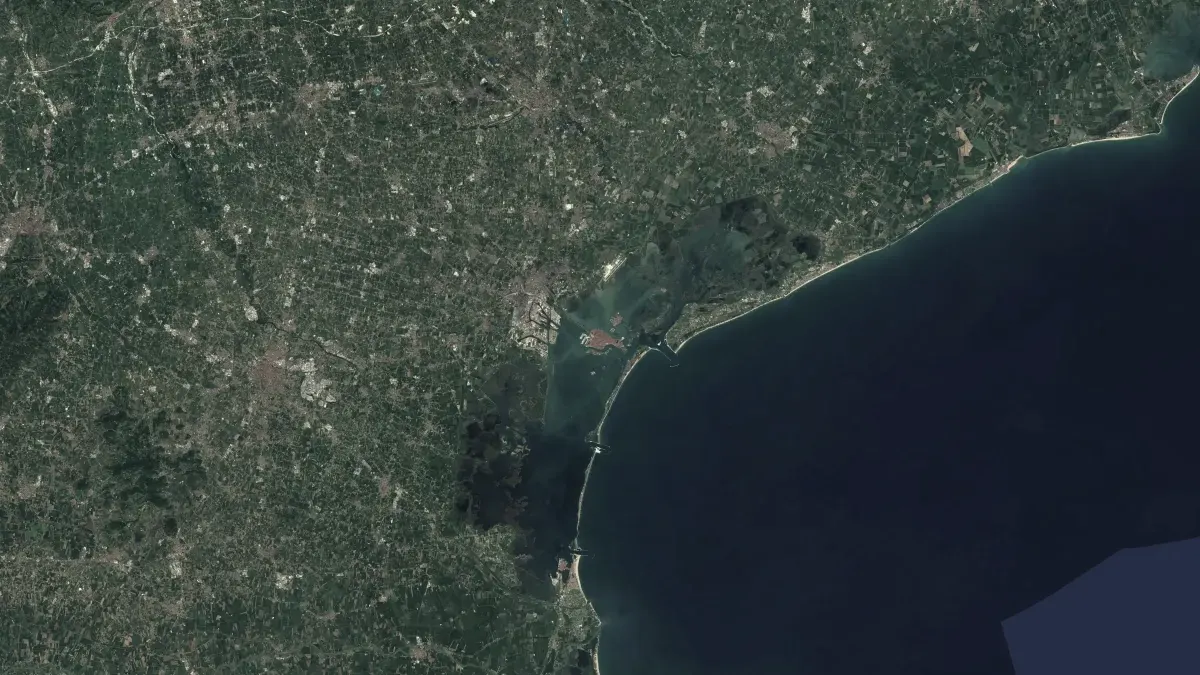
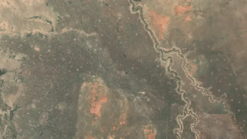
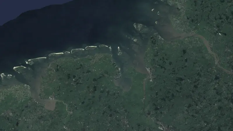
Satellite and Earth observation
More in this area.
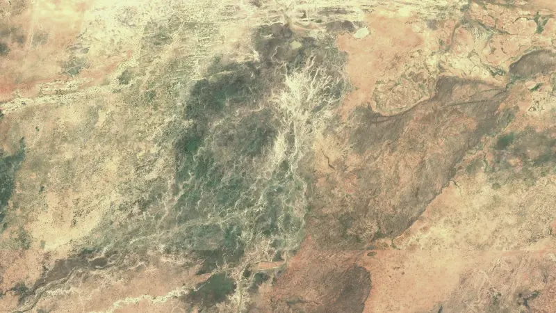
All solutions- Food securityWeekly forecasts of food crisis risk, 90 days ahead, for 43 countries.
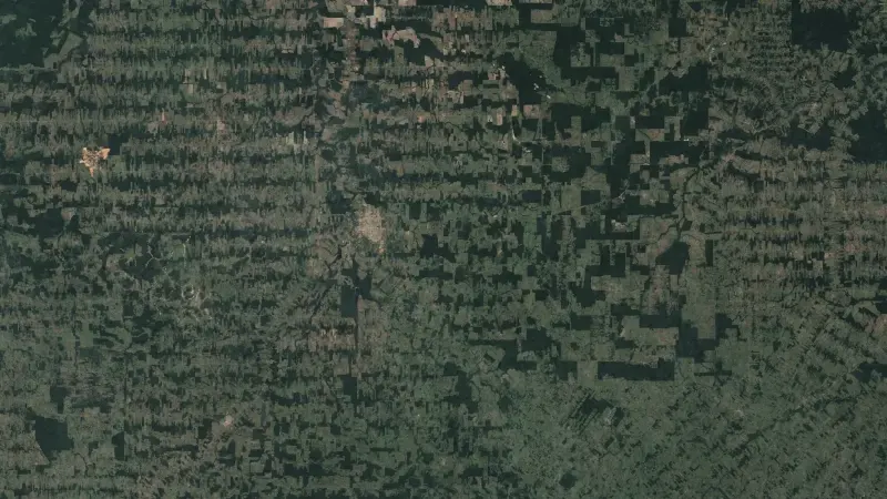
- ForestsFind forest loss and its cause from satellite images, for the EU deforestation regulation.
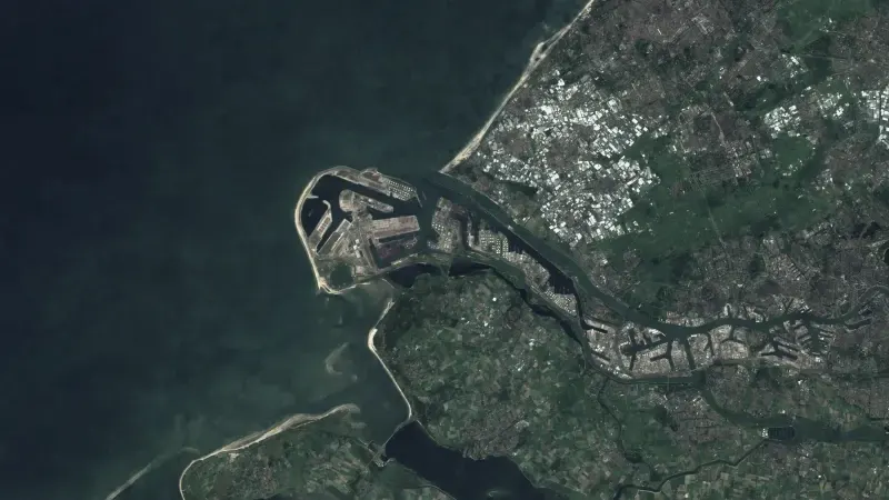
- InfrastructureRadar, optical images and night lights show what changes at ports, plants and at sea.
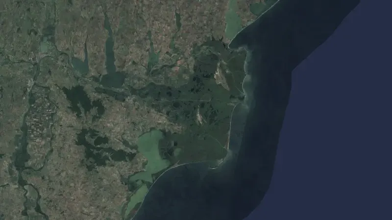
- Data fusionEarth observation data from six sources, aligned and served behind one API.