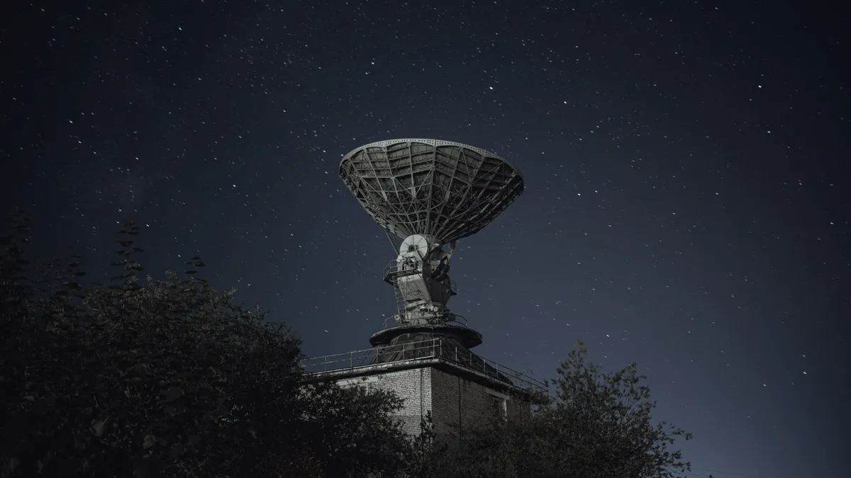
A second source, from orbit.
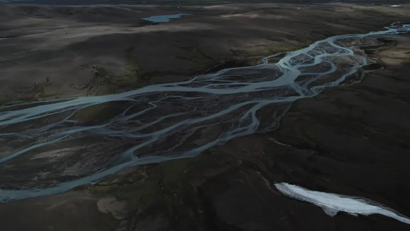
Where a question reaches beyond your own sensors, we confirm it from satellites and public records: ground motion, infrastructure, forests and activity at sea.
Your own sensors only see your own fence.
Ground that moves under a dam, a pipeline nobody inspects every week, a forest a supplier says it has not cleared: the evidence is outside the site.
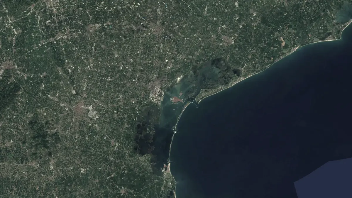
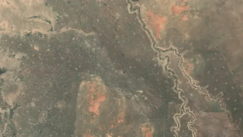
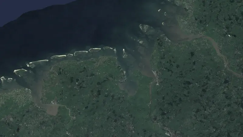
Radar and optical satellites pass over every few days. We read their open archives, measure what changed and set it next to your own data, so a finding rests on two independent sources.
What we deliver.
- Measure ground motion to the millimetre from radar satellites.
- Follow infrastructure at sea and on land with radar, optical images and night lights.
- Find forest loss and its cause, for the EU deforestation regulation.
- Set the satellite record next to your own measurements.
How it works.
- Read
- We pull from open archives such as Copernicus Sentinel-1 and Sentinel-2.
- Measure
- We turn the pixels into a measurement, and publish the method.
- Compare
- The result is set against your own data before anyone acts on it.
Data and industrial intelligence
More in this area.
All solutions- Root cause in process dataWe rank what drives a loss, a quality problem or downtime, from the data you already record, and trace every cause back to the raw signal.
- Data pipelinesWe bring data from many systems and sources into one place, keep it up to date and record where every value came from.
- Forecasts with a public scoreWe build forecasts that are written down before the outcome is known and scored against what happened, so you know how far to trust them.
- AI in your systemsWe build assistants and drafting into the systems your people already use, with the data kept in Europe and a person approving what goes out.