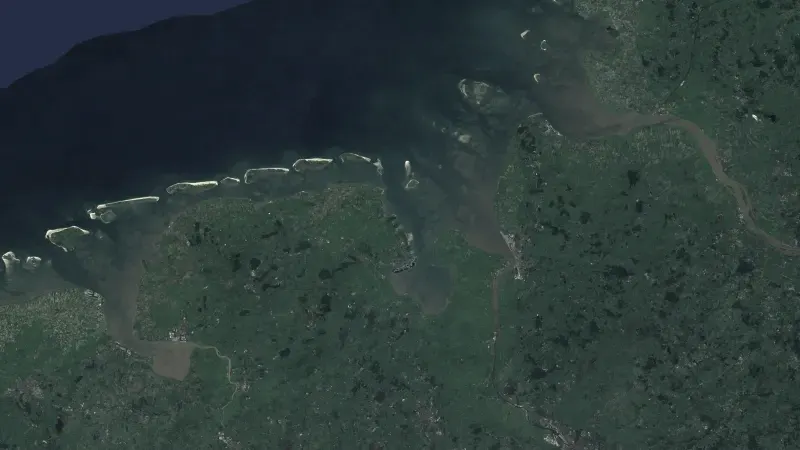
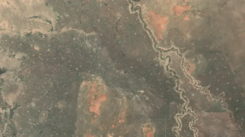
LITHOS measures up to about 26 mm of subsidence a year northwest of Bologna, 2021 to 2024
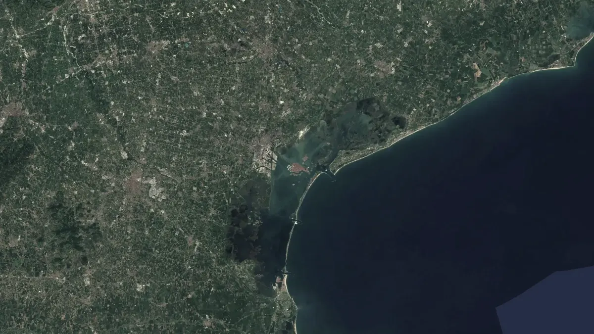
LITHOS measured about 17 to 26 mm of subsidence a year at the fastest, on the plain northwest of Bologna, from October 2021 to April 2024. LITHOS is Northflow's open ground motion map, which shows how the ground rises and sinks, measured by radar satellites.
Measured from orbit, tied to the ground
LITHOS reads interferograms from Sentinel-1 in the public COMET LiCSAR archive and solves them into a scene: about 1,000 points at 400 m, with the vertical motion tied to GNSS station BOLG on the ground.
East of 11.45E the scene and GNSS station MEDI disagree in sign, so LITHOS shows those points as relative only.
One sentence per point
Click a point and LITHOS gives its velocity in mm per year, the time series and one sentence with the period, the 95 per cent interval and the datum. A verdict that changes when the processing is varied is published as inconclusive.
The code is open under Apache 2.0 on GitHub, and LITHOS runs locally with one command.